Community Trust ScoreVerified
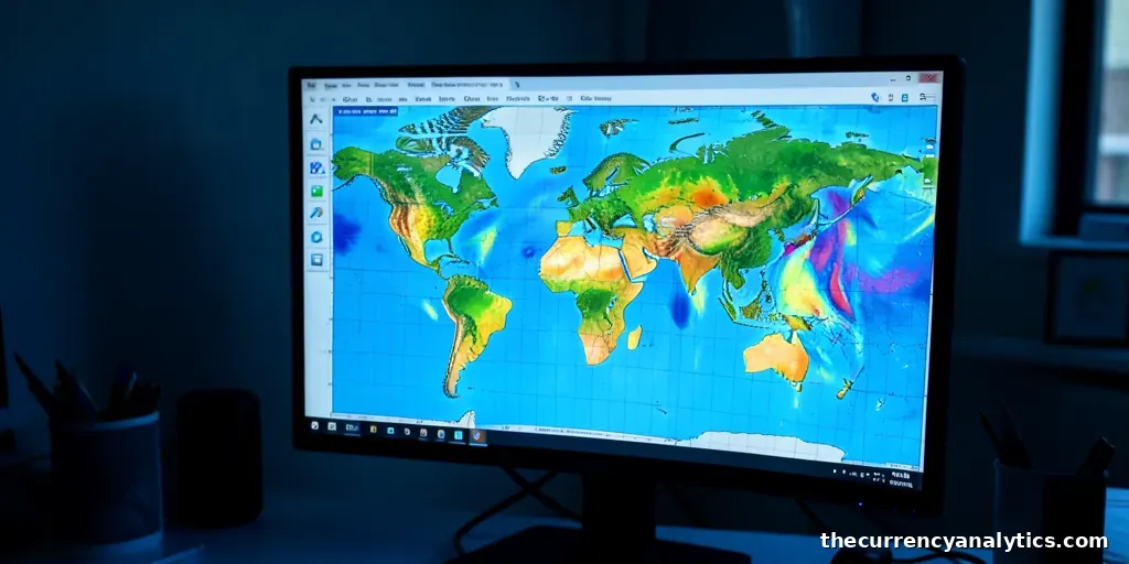
Google DeepMind announced on Nov. 13 that access to PARDIG, an AI-powered global precipitation monitoring system, is now available to researchers and developers. The release provides a new layer of atmospheric data, combining satellite observations and other inputs to estimate rainfall at a global scale.
More coverage is filed under Technology.
Technical Specifications and Data Availability
The system generates rainfall estimates every 15 minutes across a global grid with a resolution of roughly 10 kilometers. This high-frequency output allows for a granular view of precipitation patterns that traditional methods may miss. The data is not limited to landmasses with dense observation networks; PARDIG is capable of generating estimates over oceans and regions where ground-based sensors are sparse.
Historical records within the system date back to 1999. A separate, more recent dataset covers the period from 2016 to the present. Both datasets are released under a Creative Commons license, which permits commercial reuse provided attribution is given. This licensing structure removes barriers for developers and organizations looking to integrate the data into agricultural monitoring, water management, or disaster-risk applications.
Evaluation and Performance Metrics
DeepMind stated that PARDIG achieved more than 30% higher hourly precipitation detection skill than NASA’s IMERG-Final dataset for light-to-moderate rainfall. The evaluation was conducted against radar networks in the United States, Europe, and Japan. Additionally, the system was tested using observations from more than 36,000 weather stations worldwide.
The underlying model learns from precipitation measurements collected by NASA’s Global Precipitation Measurement satellite. It utilizes additional satellite imagery and atmospheric information to refine its estimates. The research paper associated with the release reported improved identification of intense rainfall events. Google highlighted the July 2025 Texas Hill Country floods as a specific example, comparing PARDIG estimates with ground-based radar measurements and NASA’s existing rainfall dataset for that event.
Limitations and Operational Delays
Despite its advanced capabilities, Google classifies PARDIG as experimental. The system has known limitations; it can underestimate snowfall in mountainous regions and is less reliable in certain polar areas. Users are advised to rely on official meteorological agencies for public-safety decisions rather than relying solely on this experimental tool.
Near-real-time data is published in six-hour batches. There is an average delay of about five hours between the initial observation and the availability of the data to users. The dataset also supports Google’s WeatherNext 3 forecasting model during its training phase, indicating its role within the broader Google weather infrastructure.